
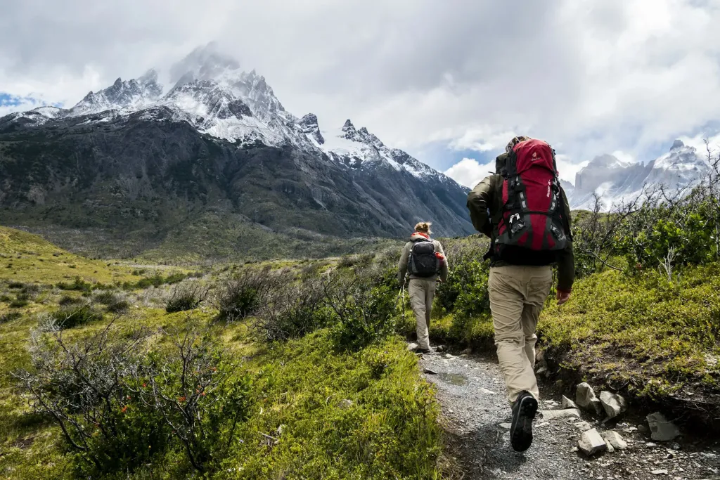
The Colorado Trail starts in about the least wild way imaginable: on a wide gravel service road in Waterton Canyon, half an hour from downtown Denver, with joggers, families and cyclists passing you while bighorn sheep watch from the rocks. Seven days and roughly 104 miles later, my friend Jen and I walked into Breckenridge sunburned, a little thinner and absolutely sure we wanted to come back for the rest.
I taught middle school in Denver for eleven years and stared at those mountains from my classroom window the whole time. The Colorado Trail, about 486 miles from Denver to Durango on its classic route, has been on my list for most of that decade. This summer I finally carved out a week to hike the first six segments, from Waterton Canyon to the Gold Hill Trailhead above Breckenridge.
This post is the practical one I wish I had read: water, resupply, altitude, the daily rhythm of afternoon storms, and the gear we would change next time.
In this story8 sections
The shape of the first 100 miles
The trail is divided into official segments, and the first six add up to about 104 miles. They’re surprisingly varied:
- Segment 1 (about 16.8 miles): Waterton Canyon Trailhead to the South Platte River. The first six or so miles are an easy road along the river; then real trail climbs over a ridge and drops steeply to the Platte. Dogs aren’t allowed in Waterton Canyon itself.
- Segment 2 (about 11.5 miles): South Platte to Little Scraggy Trailhead, through the open, sun-baked burn scar of the 1996 Buffalo Creek Fire. Hot and dry.
- Segment 3 (about 12.2 miles): Pleasant rolling forest through the Buffalo Creek area, popular with mountain bikers.
- Segment 4 (about 16.2 miles): Into the Lost Creek Wilderness, with granite domes, aspen and meadows. Our favorite.
- Segment 5 (about 14.6 miles): Long Gulch to Kenosha Pass, ending in huge aspen groves and the first big views of South Park.
- Segment 6 (about 32.9 miles): Kenosha Pass over the Continental Divide near Georgia Pass (just under 12,000 feet) and down to the Gold Hill Trailhead on Highway 9.
The elevation story is the key to everything. You start around 5,500 feet in a hot foothills canyon and finish having crossed the Divide near 12,000 feet. That gentle beginning is a gift: it lets your legs and lungs adapt before the trail gets serious.
Water: the first three days are the hard part
People worry about water in the high country, but it is the low, dry start that catches hikers out. Segments 2 and 3 cross the Buffalo Creek burn area and long stretches of exposed forest with few reliable sources, especially by mid-July. Our routine:
- Fill everything at the South Platte River at the end of Segment 1.
- Use the public spigot at the Buffalo Creek fire station in Segment 2, a long-standing hiker water stop. Check recent trail reports to confirm it’s on.
- Carry at least 2–3 liters (about 2–3 quarts) between sources in Segments 2 and 3, more on a hot afternoon.
From Lost Creek onwards, water became much easier: creeks, springs and meadows almost every few miles. We used a FarOut app with recent hiker comments on every source plus the Colorado Trail Foundation’s databook, and both were invaluable. Treat everything; cattle graze some of these valleys.
Good to know
No through-hiking permit is needed, but in the Lost Creek Wilderness you fill in a free self-issued wilderness permit at the registration box. Bikes are not allowed in wilderness areas and use a long detour, so expect quieter trail in Segment 4.
Storms, altitude and the daily rhythm
Colorado summer weather is beautifully predictable, which is not the same as safe. Clear mornings build into towering clouds by late morning, and thunderstorms with lightning and hail regularly hit the high country between about 1 and 4 p.m. Our rule was to be below treeline by early afternoon, which meant starting at 6 a.m. on the day we climbed toward Georgia Pass. We crossed the Divide around 10:30 in sun and wind and watched the first storm form over the Tenmile Range an hour later.
Altitude snuck up on us more gently. Most of this section sits between about 6,000 and 11,000 feet. We drank more water than we thought we needed, ate salty snacks constantly and kept a slower pace on the climbs. If you’re flying in from sea level, spend a day or two in Denver before you start. Headaches that don’t go away with rest and water, nausea or confusion mean you go down.
Clear mornings, thunder by one: in the Colorado high country, the weather keeps the schedule for you.
Maya Collins
How our week went
We averaged about 15 miles a day, which felt right for a first week with a full pack. Kenosha Pass, at around mile 71, was our resupply. It’s a busy trailhead on US Highway 285; we got a ride to the small town of Jefferson a few miles south, where a general store and a café provided enough food and one enormous breakfast burrito each. Some hikers instead mail a resupply box to a post office or arrange a friend to meet them, which is what we’ll do next time.
Itinerary
Our week, segment by segment
- 7 days
- 15 places
- $175 on the ground
Day 1
Waterton Canyon to the South Platte
- Waterton Canyon
- Strontia Springs Dam
- South Platte River
An easy road along the river, then a steep climb and descent. Camped near the river and filled every bottle.
Day 2
The Buffalo Creek burn
- Buffalo Creek fire station
- Little Scraggy Trailhead
Hot, exposed and dry. Topped up at the fire station spigot and rested out the midday heat.
Day 3
Forest miles to Rolling Creek
- Buffalo Creek Recreation Area
- Rolling Creek Trailhead
Rolling, shaded trail shared with mountain bikers. Water got easier late in the day.
Day 4
Into the Lost Creek Wilderness
- Lost Creek Wilderness
- Long Gulch
Granite domes, aspens and creek crossings. Our favorite day of the trip.
Day 5
Aspens to Kenosha Pass
- Kenosha Pass
- Jefferson
Short day, then a ride to Jefferson to resupply and eat a huge breakfast burrito.
Day 6
Over the Divide near Georgia Pass
- Georgia Pass
- Swan River
Crossed above treeline before 11 a.m. and dropped into the trees as storms built.
Day 7
Down to Breckenridge
- Gold Hill Trailhead
- Breckenridge
Free town bus from the trailhead into Breckenridge, then a shower, a bed and pizza.
Estimated on-the-ground cost$175

The gear we would change
We both carried base weights around 16 pounds, which was fine. But a week on trail exposes every compromise.
- Shoes: I started in lightweight trail runners with too little cushioning. The road walk and rocky descents of Segment 1 bruised my feet. Next time: a more cushioned shoe and a half size up.
- Sun protection: The burn area has almost no shade. A sun hoodie and a lightweight trekking umbrella would have made Days 2 and 3 much easier.
- Rain gear: My cheap rain jacket wetted out in the first real storm. A proper, breathable shell is not optional at 11,000 feet in July.
- Sleep: Nights near Georgia Pass dropped into the mid-30s°F (around 2°C). A 20°F quilt was right; Jen’s 40°F bag was not.
- Food storage: Black bears live along the whole route. We used odor-proof bags inside a bear-resistant sack and cooked away from our tents.
What I’d pack next time
The list I would actually carry for the first 100 miles in July.
0 of 24 packed— ready to go!
Logistics: getting to the start and home again
When to go: The low first segments can be hiked from late spring, but for the full 100 miles, aim for early July through mid-September, when Georgia Pass is usually clear of snow. Late August and early September bring fewer storms, and the aspens near Kenosha Pass turn gold by mid-to-late September.
Getting to Waterton Canyon: Fly into Denver International (DEN), which has nonstop service from almost every US hub. The trailhead is in the southwest suburbs, roughly 45 minutes by rideshare from downtown. There is a parking lot, but leaving a car for a week is less convenient than getting dropped off.
Getting home from Breckenridge: Breckenridge’s free town bus serves the Gold Hill Trailhead area in summer. From town, the free Summit Stage connects to Frisco, where Colorado’s Bustang buses run back toward Denver. Check current schedules before you go.
Cost: Our week cost about $275 each, mostly food, the Jefferson resupply and one glorious night in a Breckenridge motel.
The first 100 miles of the Colorado Trail are a gentle introduction that slowly becomes something wilder. You start next to joggers in a canyon and end up alone on the Continental Divide, watching thunderheads rise over peaks you used to see from a classroom window. I can’t wait to walk the next 386 miles.