
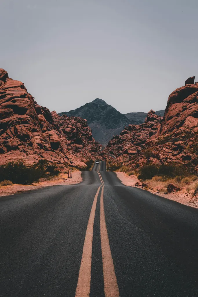
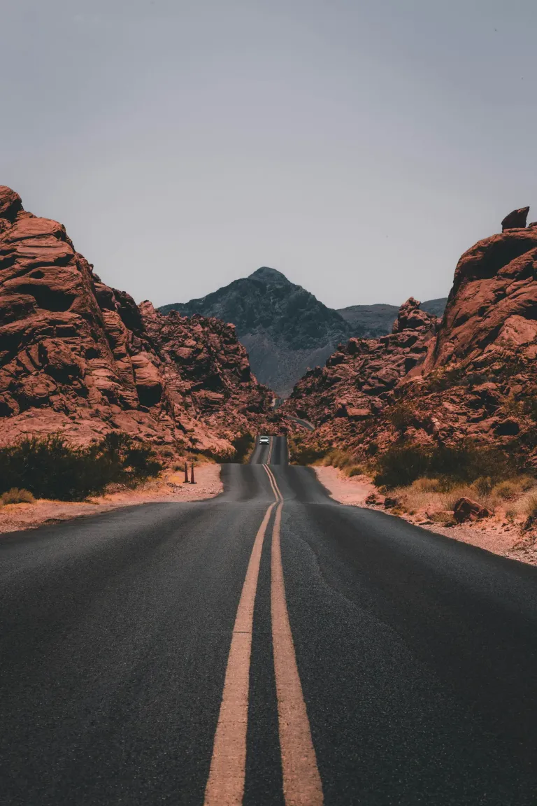
There is a point on US-163 where the road dips, straightens and points right at the buttes. You’ve seen it even if you’ve never been to Utah: a ribbon of asphalt running dead straight toward a skyline of red sandstone towers, the place where Forrest Gump stopped running. Everyone stops there. You should too, just not at noon.
I drove this stretch twice on my Southwest loop last fall, once heading south from Bluff in flat midday glare and once at the end of the day in light so warm it looked painted. The road was the same. The experience wasn’t. That difference is most of what I want to tell you about.
US-163 is only about 64 miles long, running from Bluff, Utah, south through Mexican Hat and Monument Valley to Kayenta, Arizona. You could drive it in an hour and a half. Give it a full day.
In this story7 sections
Bluff to Mexican Hat: the warm-up
I started in Bluff, a tiny town on the San Juan River with cottonwoods, a couple of good cafés and more stars at night than seems reasonable. Heading west then south, the road follows the river through low red mesas, and within half an hour you reach the turnoff for the Valley of the Gods, a 17-mile dirt road through sandstone monoliths that most people skip. It’s graded and passable in a regular car when dry. I saw two other vehicles in an hour.
A little farther on, a short detour leads to Goosenecks State Park, where the San Juan River has carved a series of tight, 1,000-foot-deep meanders. Entry was about $5 per car, and the overlook is right beside the parking lot. It’s a strange, quiet place, especially in the morning.
Then comes Mexican Hat, named for a balanced rock just north of town that does look exactly like an upside-down sombrero. Fill up on gas here. Services are sparse until Kayenta.

Forrest Gump Point, and when to stand there
About ten miles south of Mexican Hat, near mile marker 13, the road crests a rise and the famous view opens up: a long straight descent toward the buttes of Monument Valley, a dozen or so miles ahead. There’s no official sign, just a wide gravel shoulder and, on most days, a crowd.
At noon, the light is flat and the shadows disappear, and the buttes look like cardboard cutouts. I got my photo, felt underwhelmed, and moved on. When I came back north the next evening, about an hour before sunset, the road glowed and every butte had a deep shadow on its eastern side. Same pullout, completely different place.
The road was the same both times. The light was the whole story.
Maya Collins
Good to know
- This is a real highway with trucks doing 65 mph. Never stand in the road for a photo. Use a longer lens from the shoulder or have someone shoot from the edge.
- Navajo vendors sometimes set up at the pullout selling jewelry. It’s their land; be polite and buy something if you can.
- Early morning is the second-best light here, with far fewer people.
Inside Monument Valley Navajo Tribal Park
Monument Valley isn’t a national park. It’s part of the Navajo Nation, managed by the Navajo Parks and Recreation Department, and that changes some rules. Entry was about $8 per person when I visited. Alcohol is prohibited on the Navajo Nation, drones are banned in the park, and you should always ask before photographing people or homes.
From the visitor center you get the classic view of the West Mitten, East Mitten and Merrick Butte. The 17-mile Valley Drive is a rough dirt loop you can drive yourself in a regular car if you take it slowly and the road is dry. Rental companies may not love it, and the first mile is the worst part. I drove it, and it took me about two and a half hours with stops at John Ford’s Point and the Three Sisters.
The better experience, though, is a guided tour with a Navajo guide. Only guided tours can enter the backcountry areas beyond the Valley Drive, including arches and petroglyph sites you can’t otherwise see. I booked a three-hour afternoon tour for about $90. My guide had grown up in the valley, sang a short song in Diné inside a sandstone alcove, and pointed out the hogan where his grandmother had lived. That was the part of the day I’ll keep.
Navajo tacos and other road food
You will see Navajo tacos on every menu in the region, and you should order one. It’s a round of frybread, puffy, crisp at the edges and chewy inside, piled with beans, ground beef or mutton, lettuce, tomato, cheese and green chile. A full one is lunch and dinner. I paid around $14 at the restaurant inside the park and about $10 at a roadside stand near Kayenta, and the roadside one was better.
Other things worth eating along the way: mutton stew, if you see it; blue corn mush at breakfast; and anything with Hatch-style green chile. Carry snacks and at least a gallon of water in the car, because distances are long and stores are few.
Time zones, timing and where to sleep
Here’s the confusing part. Arizona doesn’t observe daylight saving time, but the Navajo Nation, including the Arizona side of Monument Valley, does. Utah does too. So from spring to fall, your phone may jump an hour back and forth as you drive between Kayenta, Page and the park. I nearly missed my tour because of it. Set tour times in your head as “Monument Valley time” and confirm with the operator.
There are only a few places to stay close to the valley. The hotel inside the park has rooms and cabins facing the Mittens, and sunrise from the balcony is worth the high price, often $300 or more a night in peak season. Goulding’s Lodge, just across the border on the Utah side, is a historic trading post turned hotel with a small museum. Budget options are in Kayenta, about 25 miles south, and in Mexican Hat and Bluff to the north.
I stayed one night near the valley and one in Bluff, which let me drive US-163 in both directions, once in each light.
Destination guide · United States
Monument Valley
The West of every movie you have ever seen
- Best time to visit
- April to May, September to October
- Daily budget
- Moderate
- Visa for US citizens
- Not needed (home country)
- Language
- English, Navajo
- Currency
- US dollar (USD)
- Time zone
- America/Denver
Fitting it into a Southwest loop
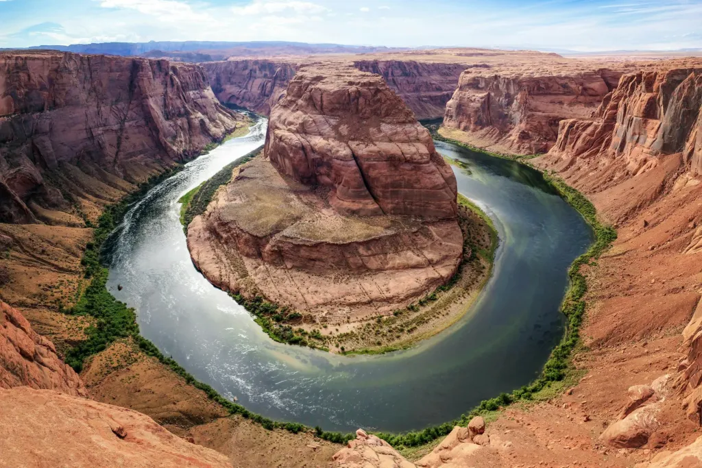
Monument Valley sits neatly between Utah’s national parks and northern Arizona. From Moab it’s about 150 miles south via US-191 and Bluff. From Page and Horseshoe Bend it’s about 125 miles east. The Grand Canyon’s South Rim is roughly three and a half hours away via the Desert View entrance. Spring and fall are ideal, with highs in the 60s and 70s. Summer days top 90°F, and winter can bring snow and freezing nights.
If you only have one day, do this: arrive in the early afternoon, take a guided tour, eat a Navajo taco, watch sunset from the visitor center, and drive north to Forrest Gump Point the next morning before anyone else is up. Then keep going. The best part of US-163 is that it’s only one beautiful road in a region full of them.