

The alarm went off at 1:15 a.m. in a motel room in Lone Pine, and for about four seconds I seriously considered going back to sleep. Then I remembered the permit taped to my pack, the one my friend Jess and I had refreshed Recreation.gov for in March like it was concert tickets, and I got up. By 2:00 a.m. we were standing at Whitney Portal, 8,360 feet, with headlamps on and a sky so crowded with stars it looked spilled.
Mount Whitney is the highest point in the Lower 48 at 14,505 feet. The main trail is about 22 miles round trip with roughly 6,100 feet of climbing, and most people who do it in a single day start somewhere between midnight and 3 a.m. We were not the first car in the lot. We were not the last. Everyone moved with the same quiet, slightly nervous energy of people who know the next 15 hours will be long.
A small confession about the title: we did not stand on the summit at sunrise. Very few day hikers do, unless they start before midnight. We watched the sun come up from the bottom of the switchbacks above Trail Camp, with the whole east face of the mountain turning pink above us, and I would not trade that view for the summit itself. Here is how the day actually went, and what I would tell anyone thinking about trying it.
In this story6 sections
Winning the lottery (the real crux)
From May 1 to November 1, you need a permit to enter the Mount Whitney Zone, even for a day hike. The Inyo National Forest runs a lottery on Recreation.gov, and applications open in early February and close around March 1. Results come out in March. A lottery application costs about $6, and if you win, the permit runs about $15 per person.
A few things that improved our odds:
- Midweek dates. We listed only Tuesdays, Wednesdays and Thursdays in late July and August. Saturdays in summer are brutally competitive.
- Several date choices. You can rank multiple options on one application. Use all of them.
- A second applicant. Jess and I each applied separately, naming each other as alternate leader. She won; I did not.
- The leftovers. Unclaimed dates are released after the lottery, and cancellations pop up all summer. People get permits a week out by checking every morning.
Your permit prints at home now, and it comes with a strict rule: pack out everything, including human waste. Pick up free waste bags at the Eastern Sierra InterAgency Visitor Center just south of Lone Pine. It is not glamorous, but it is the reason the trail is clean.
Two nights of doing almost nothing at altitude
I lived in Denver for nine years, so I assumed I was “basically acclimatized.” I was not. Denver sits at about 5,300 feet; the summit is nearly three vertical miles higher. We gave ourselves two nights up high before the hike: one at the campground at Whitney Portal and one at Horseshoe Meadow, which sits around 10,000 feet and has easy walks to wander on.
Those two days were the best decision of the trip. We slept badly the first night, ate a lot, drank more water than felt reasonable and took a short hike up to Lone Pine Lake, about 2.8 miles from the portal, which doesn’t require the zone permit. By the second evening, the dull headache was gone. On summit day, neither of us had the pounding head and nausea that turned back several people we met near Trail Crest.
Before you go
Bears at the portal are smart and persistent. Use the metal food lockers at the trailhead for anything with a smell, including sunscreen and the gum in your car’s cup holder. If you stay overnight anywhere in the zone, a hard-sided bear canister is required.
The hike, hour by hour
2:00 a.m. – Into the dark
The first few miles go up through forest and across a couple of small creek crossings on rocks and logs. In the dark you see only a small circle of trail and the occasional line of headlamps above you switching back and forth. We passed Lone Pine Lake around 3:30 and Outpost Camp, a flat meadow with a waterfall you can hear but not see, a little after 4.
5:40 a.m. – Sunrise above Trail Camp
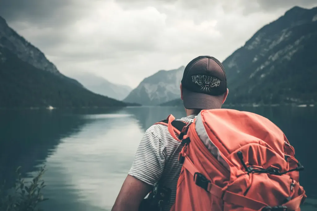
Trail Camp sits around 12,000 feet, about 6.3 miles in, beside a small tarn. It is the last reliable water, so we filtered three liters each there. Just above it, the infamous 99 switchbacks begin, and that is where the light arrived. The granite needles along the crest went from gray to rose to bright gold in about fifteen minutes. Jess cried a little. I took 60 photos that all look the same and I love every one.
8:15 a.m. – Trail Crest
The switchbacks climb about 1,600 feet to Trail Crest at roughly 13,600 feet. They are well built and never steep, just endless. A short section has a handrail cable, and in early summer that stretch can hold snow and ice; we had microspikes in our packs and did not need them in late July. At the crest, the view suddenly opens west over Sequoia National Park, and the wind arrives with it.
10:20 a.m. – The summit
The last two miles from the John Muir Trail junction to the top are deceptive. They look short. They are not. At 14,000 feet I was taking 20 steps and then standing, hands on my knees, listening to my heart. The final approach is a broad, bouldery slope up to the old stone hut on top, built by the Smithsonian more than a century ago.
At 14,000 feet I measured progress in twenty steps at a time, and every twenty felt like a small summit of its own.
Maya Collins
We signed the register, ate the squashed peanut butter tortillas we had been saving, and sat for 40 minutes looking at the Owens Valley more than 10,000 feet below. Then we turned around, because the summit is only halfway.
The descent nobody talks about
Coming down took us almost as long as going up. The switchbacks are hard on knees, the afternoon sun is strong, and by Outpost Camp our feet had started their formal complaints. We reached the portal at 5:10 p.m., a little over 15 hours after we left. I could barely lift my leg into the car.
Afternoon thunderstorms are a real risk in July and August. Our rule was simple: if we were not at Trail Crest by 10 a.m., or if clouds were building fast to the west, we would turn around. That turnaround time is the most important number in your plan, more than your pace or your pack weight.
What I carried on summit day
Everything fit in a 28-liter daypack, and I used every item except the microspikes.
0 of 23 packed— ready to go!
Getting there, staying and timing
Lone Pine is about a 3.5-hour drive from Los Angeles and roughly four hours from Las Vegas, which often has the cheaper flights. Whitney Portal Road climbs 13 miles from town to the trailhead. In Lone Pine we paid about $140 a night for a simple motel; the portal campground runs around $30 a night and books up months ahead.
The friendliest window for a day hike is mid-July through September, when the snow is mostly gone and the days are still long. Earlier in the season you will likely need an ice axe and microspikes on the switchbacks, and later the daylight shrinks fast.
Our mistake
We started too fast. The first hour felt easy, so we pushed it, and we paid for it above 13,000 feet. Walk the first three miles at a pace that feels almost silly. You will need that energy much later.
I have stood on higher mountains since then, but none of them has stayed with me like that morning on the switchbacks, cold hands around a water bottle, watching the light climb down the granite toward us. If you get the permit, go. Start slow, turn around when you should, and look up when the sky starts changing color.